OpenTopography
Verified working Jul 31, 2026
A research portal for lidar, DEMs, and terrain analysis tools.
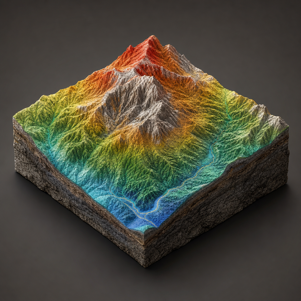
OpenTopography provides access to high-resolution topographic datasets, including lidar point clouds, digital elevation models, and derived terrain products. The site also offers web-based processing tools, hydrologic analysis workflows, training materials, and developer access for reproducible geospatial research.
Why it stands out
- Combines data discovery, download, and processing in one research-oriented portal.
- Includes both high-resolution regional lidar holdings and broader continental or global terrain models.
- Supported by NSF and operated through UC San Diego’s San Diego Supercomputer Center, giving it a strong academic infrastructure base.
- Offers education-focused materials alongside production data services, useful for both researchers and instructors.
- Provides programmatic access options for users building automated geospatial workflows.
Good to know
- High-resolution coverage depends on available datasets and is not uniform worldwide.
- Some workflows require an OpenTopography account or API key.
- The site is primarily oriented toward earth science research and education, so casual users may face a GIS/topography learning curve.
- The presence of an OT+ subscription for non-academic users suggests some access conditions may differ by user type.
Under the radar: For reproducible projects, check the Developers/API area before manually downloading from the map interface; the tile-index workflow can make large point-cloud jobs easier to script and rerun.
Photos
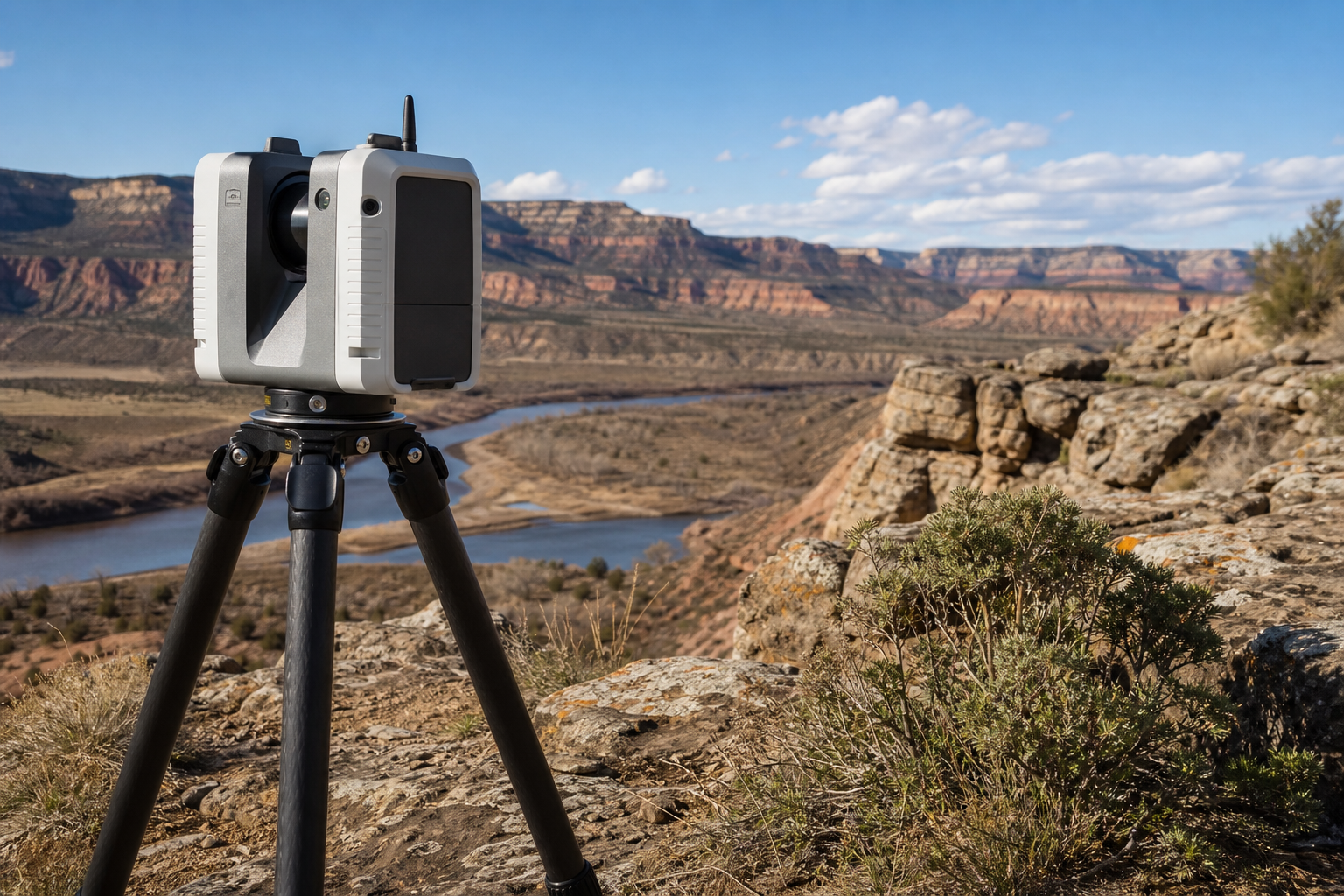
Earth scientists, geomorphologists, GIS analysts, and educators use it to find and process elevation data for research and teaching. Download lidar or DEM datasets for a study area before fieldwork or modeling. Run terrain and hydrologic processing without building a local GIS pipeline from scratch. Teach students how topographic data supports earth science, mapping, and hazard analysis. Track newly released regional, continental, and global terrain datasets.
Searchable topographic data catalog; map-based data discovery; access to lidar point clouds and DEMs; on-demand terrain and hydrologic processing tools; training curriculum, workshops, blog updates, dataset release news, and developer/API resources.
Technical Notes
- Developers can request an OpenTopography API key for programmatic access to data and services.
- The site documents programmatic access to point cloud data, including tile-index-based workflows for automated downloads.
- API use appears tied to registered access rather than anonymous bulk scraping.
Alternative listings
Open particle-physics datasets, software, and guides from CERN.
Open Data & Research PortalsCERN Open Data Portal provides public access to high-energy physics datasets from CERN experiments, including ALICE, ATLAS, CMS, LHCb, OPERA, TOTEM, and others. It pairs large research datasets with documentation, software environments, event displays, and educational materials so users can learn from or analyze real experimental data.
0 votesVisit siteA USGS portal for finding satellite, aerial, and map imagery.
Open Data & Research PortalsEarthExplorer is the U.S. Geological Survey’s search interface for satellite scenes, aerial photographs, and cartographic products. Users can define an area of interest, choose dates and datasets, refine metadata, and review matching results for ordering or access.
0 votesVisit site


Similar sites elsewhere
- USGS EarthExplorer — earthexplorer.usgs.gov
- NOAA Digital Coast — coast.noaa.gov/digitalcoast/
- NASA Earthdata — earthdata.nasa.gov
- The National Map — apps.nationalmap.gov
1 of 3