EarthExplorer
Verified working Jul 31, 2026
A USGS portal for finding satellite, aerial, and map imagery.
EarthExplorer is the U.S. Geological Survey’s search interface for satellite scenes, aerial photographs, and cartographic products. Users can define an area of interest, choose dates and datasets, refine metadata, and review matching results for ordering or access.
Why it stands out
- Official USGS source for a wide range of remote-sensing and cartographic holdings.
- Supports multiple spatial search methods, including uploaded boundary files and WRS path/row lookup.
- Combines satellite imagery, aerial photography, and map-related products in one search workflow.
- Global country and feature-name filtering helps narrow searches beyond simple map browsing.
Good to know
- Search results are capped at 100 records, so broad searches may need tighter geography, dates, or feature filters.
- The catalog is focused on USGS imagery and cartographic products, not every possible GIS or Earth-observation dataset.
- The interface is built around technical geospatial search concepts, so new users may need the help documentation for advanced map tools.
Photos
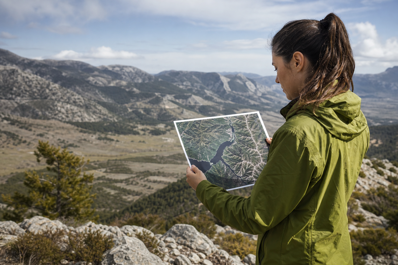
Remote-sensing analysts and GIS researchers use it to locate USGS imagery for a precise place, time period, or satellite path/row. Search for historical aerial photos of a city, watershed, farm, or infrastructure site. Find Landsat-style imagery by coordinates, place name, map-drawn area, or uploaded boundary file. Compare available datasets before requesting or downloading imagery for mapping and environmental analysis.
Search by address, coordinates, map selection, GNIS feature, WRS path/row, or uploaded GeoJSON/KML/Shapefile boundaries. Filters include date range, country, feature class/type, dataset selection, and additional dataset-specific criteria. Results are organized through a step-by-step workflow covering search criteria, data sets, additional criteria, and results.
Alternative listings
Free tools that turn global statistics into misconception-checking lessons.
Open Data & Research PortalsGapminder is an independent Swedish educational foundation that helps people compare their assumptions about global development with data from the UN and other sources. Its site offers quizzes, animated data tools, teaching materials, and Dollar Street, a photo-based view of everyday life across income levels and countries.
0 votesVisit siteOpen charts and explainers on major global trends and problems.
Open Data & Research PortalsOur World in Data is a nonprofit publication and data portal that turns global datasets into charts, topic guides, and short research articles. It covers areas such as population, climate, health, poverty, education, democracy, food, energy, and technology, with openly licensed materials designed for reuse.
0 votesVisit site

Similar sites elsewhere
- NASA Earthdata Search — search.earthdata.nasa.gov
- Copernicus Data Space Ecosystem — dataspace.copernicus.eu
- Sentinel Hub EO Browser — apps.sentinel-hub.com/eo-browser
- NOAA CLASS — class.noaa.gov
1 of 5