
Google Earth Engine
Cloud-scale satellite data and analysis for monitoring Earth’s changes.
Google Earth Engine is a cloud platform for analyzing satellite imagery and other geospatial datasets at very large scale. It gives researchers, scientists, nonprofits, and developers access to decades of imagery and environmental data, along with tools for writing algorithms that detect change, map patterns, and measure conditions on Earth’s surface.
Why it stands out
- Combines data hosting and large-scale computation, so users can analyze huge imagery collections without downloading them first.
- Includes decades of historical satellite imagery alongside scientific datasets in one analysis environment.
- Supports both interactive web-based coding and programmatic workflows through Python and JavaScript.
- Used for high-impact environmental monitoring projects, including large-scale forest-change analysis.
- Backed by Google’s cloud infrastructure, making planetary-scale processing practical for research teams.
Good to know
- Commercial use is available separately, while the site states that academic and research use remains free.
- Meaningful use generally requires geospatial analysis skills and coding in JavaScript or Python.
- The platform is focused on Earth observation and spatial analysis, not general-purpose desktop GIS editing.
Photos
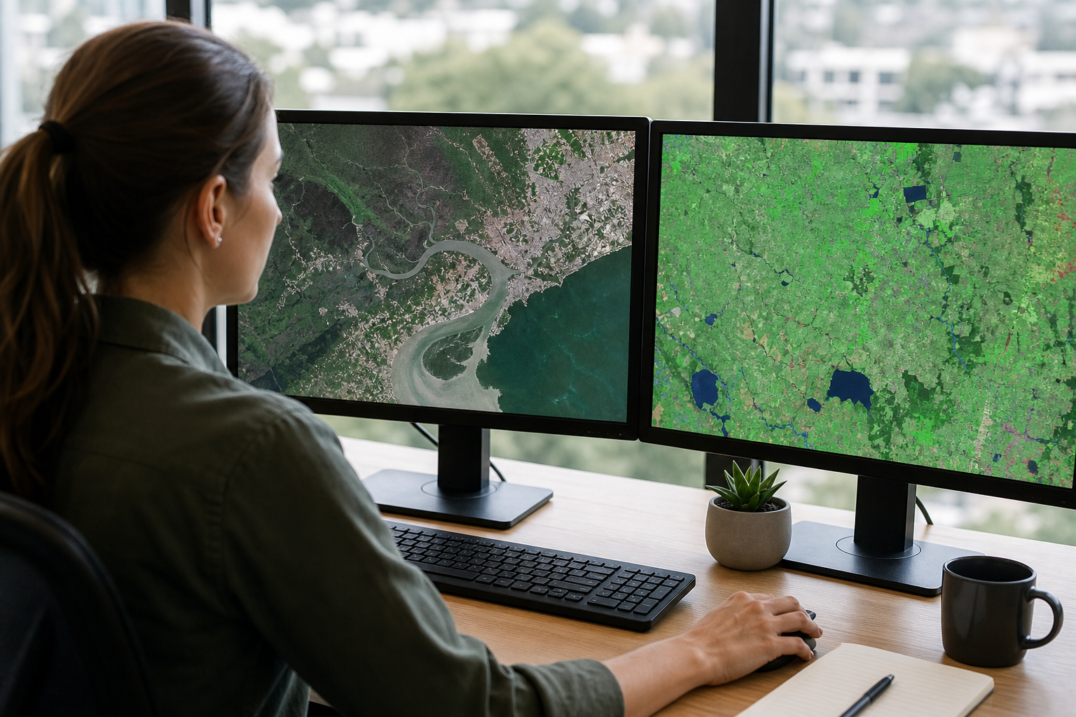
Remote-sensing researchers and environmental data scientists can analyze massive imagery collections without building their own geospatial compute infrastructure. Monitor forest loss, land cover change, water extent, urban growth, or agricultural patterns over time. Prototype geospatial workflows in a browser-based code editor before moving analysis into Python or JavaScript projects. Explore long-term visual change through Google Earth Timelapse and related Earth Engine datasets. Support humanitarian, conservation, public health, or natural-resource projects with large-scale spatial evidence.
Multi-petabyte public archive of satellite imagery and scientific geospatial datasets; more than 80 petabytes of data described on the site; datasets updated and expanded regularly; browser-based code editor; Python and JavaScript APIs; Google cloud-backed processing; Timelapse viewer; documentation, dataset catalog, case studies, and noncommercial/commercial access paths.
Technical Notes
- Earth Engine provides APIs for Python and JavaScript for running geospatial analysis against its hosted data catalog.
- Use of the platform generally requires getting started with an Earth Engine account/project rather than anonymous API access.
Alternative listings
A web tool for finding, analyzing, and downloading satellite scenes.
Mapping, geospatial & alternative cartography toolsEOSDA LandViewer is a browser-based platform for searching recent satellite imagery, viewing it on a map, and performing basic analysis before downloading. It combines access to free imagery with options for commercial satellite data, making it useful for users who need more current or specialized scenes than standard map layers provide.
0 votesVisit site

Similar sites elsewhere
- Microsoft Planetary Computer — planetarycomputer.microsoft.com
- Sentinel Hub — sentinel-hub.com
- NASA Earthdata — earthdata.nasa.gov
- USGS EarthExplorer — earthexplorer.usgs.gov
1 of 4