EOSDA LandViewer
A web tool for finding, analyzing, and downloading satellite scenes.
EOSDA LandViewer is a browser-based platform for searching recent satellite imagery, viewing it on a map, and performing basic analysis before downloading. It combines access to free imagery with options for commercial satellite data, making it useful for users who need more current or specialized scenes than standard map layers provide.
Why it stands out
- Focuses specifically on satellite imagery rather than general basemaps or street maps.
- Combines discovery, viewing, analysis, and download in one browser workflow.
- Includes both free data and commercial imagery options for users needing broader coverage or higher-value scenes.
- Positioned around recent imagery, which is useful for monitoring change-sensitive locations.
Good to know
- Some imagery is commercial, so not every useful scene will be freely downloadable.
- It is a satellite-imagery browser, not a live Earth camera or real-time video service.
- Analysis appears centered on imagery inspection and download rather than a full desktop GIS replacement.
Photos
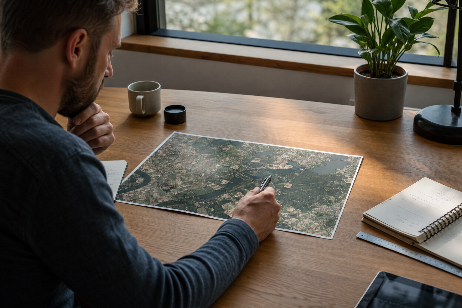
GIS analysts and remote-sensing users can locate recent satellite scenes for inspection, comparison, or download. Check land, agriculture, forestry, or environmental changes over a selected area. Preview satellite imagery before deciding whether a commercial scene is worth purchasing. Create quick visual assessments without starting in a full desktop GIS workflow.
Satellite imagery search and map viewing; tools for visual analysis; downloads for available imagery; access to both free and paid commercial image sources; web-based interface for exploring recent satellite coverage.
Alternative listings
Cloud-scale satellite data and analysis for monitoring Earth’s changes.
Mapping, geospatial & alternative cartography toolsGoogle Earth Engine is a cloud platform for analyzing satellite imagery and other geospatial datasets at very large scale. It gives researchers, scientists, nonprofits, and developers access to decades of imagery and environmental data, along with tools for writing algorithms that detect change, map patterns, and measure conditions on Earth’s surface.
0 votesVisit site

Similar sites elsewhere
- Sentinel Hub EO Browser — apps.sentinel-hub.com/eo-browser
- USGS EarthExplorer — earthexplorer.usgs.gov
- NASA Worldview — worldview.earthdata.nasa.gov
- Google Earth Engine — earthengine.google.com
1 of 5