Whitebox
A local GIS toolkit for terrain, hydrology, LiDAR, and raster analysis.
Whitebox provides a large collection of geospatial analysis tools usable from QGIS, Python, and R. Its open tier covers terrain modeling, hydrology, LiDAR, remote sensing, raster, and vector workflows, while licensed Pro bundles add structured reporting and reproducibility features for higher-stakes work.
Why it stands out
- Offers the same analysis engine through QGIS, Python, and R rather than forcing one workflow style.
- Combines raster, vector, terrain, hydrology, LiDAR, and remote-sensing tools in one toolkit.
- Runs locally, which helps teams keep data and processing outside a hosted platform.
- The Next Gen rewrite is built around modular open-source Rust libraries instead of an older monolithic architecture.
- Includes specialized terrain and hydrology tools that are less common in general-purpose GIS packages.
Good to know
- The Pro workflow bundles, governance outputs, diagnostics, and stakeholder-ready reports require a paid license.
- Because processing runs locally, performance depends on the user’s machine and available storage, especially for large LiDAR or raster datasets.
- The tool is aimed at GIS users working in QGIS, Python, or R; it is not a browser-based mapping application for casual map editing.
Under the radar: If you are evaluating Whitebox without an existing scripting workflow, start with the QGIS plugin first; it exposes the same core tool library before you commit to Python or R automation.
Photos
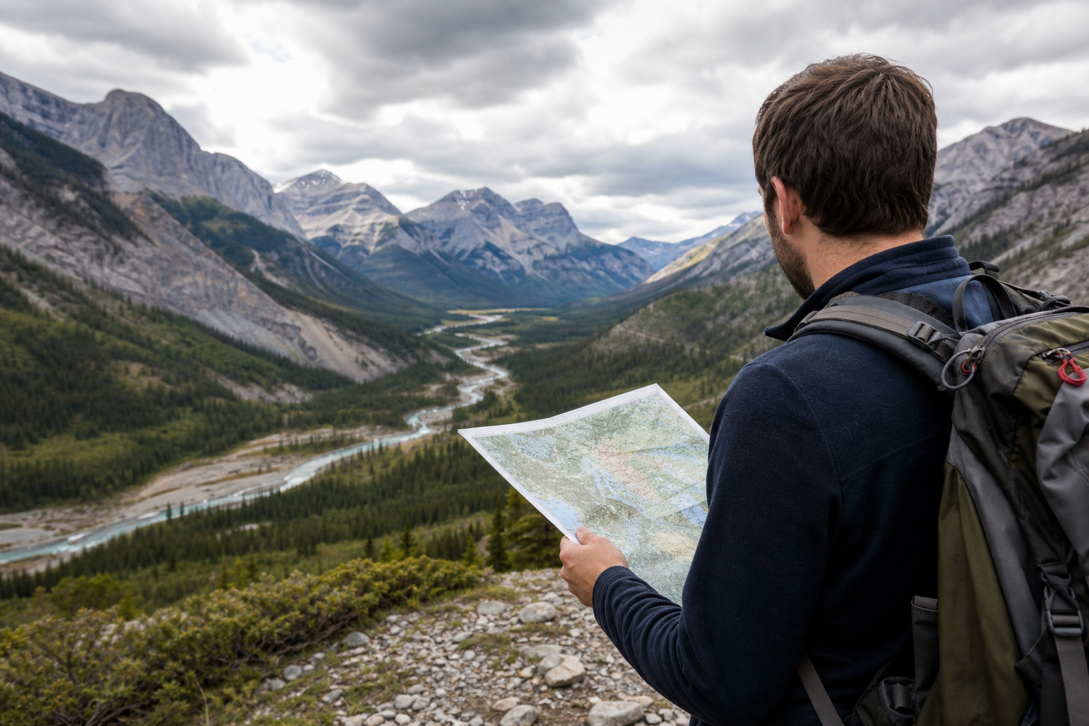
GIS analysts and geospatial researchers who need a broad local toolset for repeatable raster, vector, terrain, and LiDAR analysis. Generate slope, aspect, hillshade, visibility, and other DEM-derived terrain products. Delineate watersheds, model flow routing, and extract stream networks from elevation data. Process LAS/LAZ point clouds into terrain, canopy, or classification outputs. Run geospatial workflows in QGIS without scripting, or automate them in Python or R.
700+ geospatial tools; QGIS plugin plus Python and R interfaces; local execution; open-source Rust-backed core libraries; support for raster, vector, LiDAR, terrain, hydrology, and remote-sensing workflows; newer format support including GeoPackage, FlatGeobuf, GeoParquet, Cloud-Optimized GeoTIFF, COPC, and E57; optional Pro workflow bundles for governance outputs and diagnostics.
Alternative listings
Desktop GIS focused on geoscientific and terrain analysis.
Mapping, geospatial & alternative cartography toolsSAGA GIS is a geospatial analysis project for working with scientific mapping and earth-surface data. The site functions mainly as a gateway to the SAGA project information and its SourceForge project page for downloads and updates.
0 votesVisit siteOpen-source GIS software for raster, vector, and temporal analysis.
Mapping, geospatial & alternative cartography toolsGRASS GIS is a free geospatial analysis system for working with raster, vector, imagery, and spatial databases. It is aimed at demanding analytical workflows such as terrain modeling, hydrology, ecosystem studies, and time-series geospatial processing, with automation available through its Python API.
0 votesVisit site
Similar sites elsewhere
- GRASS GIS — grass.osgeo.org
- SAGA GIS — saga-gis.sourceforge.io
- QGIS — qgis.org
- Orfeo ToolBox — orfeo-toolbox.org
1 of 2