QGIS
Open-source desktop GIS for mapping, editing, and spatial analysis.
QGIS is a free, open-source geographic information system for building maps, editing spatial layers, running analysis, and preparing print or digital map outputs. It supports professional cartography, digitizing tools, automated processing workflows, reports, and integration with many geospatial formats and web standards.
Why it stands out
- Full professional GIS stack available as free and open-source software rather than a restricted viewer or trial.
- Strong cartographic production tools, including layout design, atlases, and large-format map output.
- Extensible processing environment with third-party tools and plugins for specialized workflows.
- Broad interoperability focus, including many spatial data formats and standards-based web services.
- Contributor-owned project with local user groups, public roadmap information, documentation, and community support channels.
Good to know
- It is a full GIS application, so users new to spatial data will still face a learning curve despite tutorials and documentation.
- The core download is a desktop application; cloud and mobile publishing workflows generally require additional setup or companion infrastructure.
- Advanced workflows may depend on plugins or third-party processing tools, which can vary in maintenance and compatibility across releases.
Under the radar: Before upgrading a production workflow, review the visual changelog for the target release; it is often the quickest way to spot interface, processing, or cartography changes that could affect existing projects.
Photos
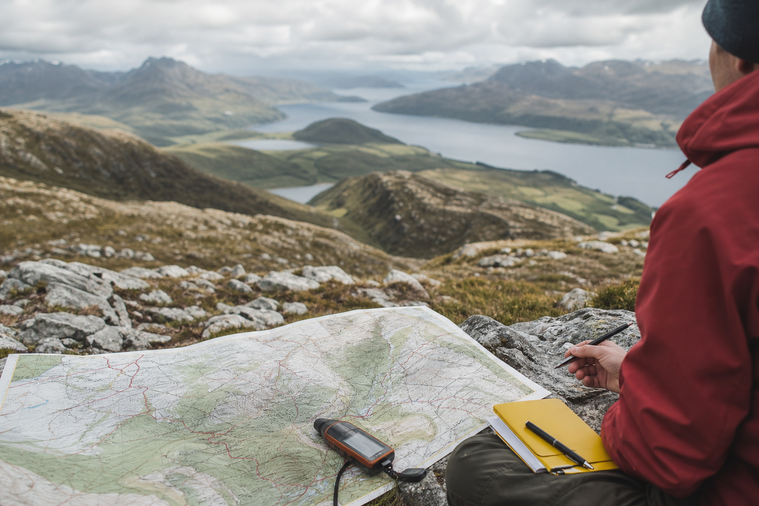
GIS analysts, planners, researchers, and public-sector teams can manage full spatial workflows without proprietary desktop GIS licensing. Design print-ready maps, atlases, and reports for publications or public meetings. Digitize points, lines, polygons, meshes, and curved geometries from survey or reference data. Combine geoprocessing tools into repeatable analysis models for recurring projects. Prepare map outputs and services for sharing through desktop, cloud, or mobile-oriented workflows.
Desktop GIS for Windows, macOS, and Linux; cartographic styling and layout design; layer editing and custom forms; processing toolbox and visual workflow modeling; atlas and report generation; broad geospatial format support; plugin ecosystem; open-source community governance under GPL licensing.
Alternative listings
Desktop GIS focused on geoscientific and terrain analysis.
Mapping, geospatial & alternative cartography toolsSAGA GIS is a geospatial analysis project for working with scientific mapping and earth-surface data. The site functions mainly as a gateway to the SAGA project information and its SourceForge project page for downloads and updates.
0 votesVisit siteA local GIS toolkit for terrain, hydrology, LiDAR, and raster analysis.
Mapping, geospatial & alternative cartography toolsWhitebox provides a large collection of geospatial analysis tools usable from QGIS, Python, and R. Its open tier covers terrain modeling, hydrology, LiDAR, remote sensing, raster, and vector workflows, while licensed Pro bundles add structured reporting and reproducibility features for higher-stakes work.
0 votesVisit site
Similar sites elsewhere
- ArcGIS Pro — esri.com/arcgis/products/arcgis-pro
- GRASS GIS — grass.osgeo.org
- gvSIG — gvsig.com
- MapInfo Pro — precisely.com/product/precisely-mapinfo/mapinfo-pro
1 of 5