GRASS GIS
Open-source GIS software for raster, vector, and temporal analysis.
GRASS GIS is a free geospatial analysis system for working with raster, vector, imagery, and spatial databases. It is aimed at demanding analytical workflows such as terrain modeling, hydrology, ecosystem studies, and time-series geospatial processing, with automation available through its Python API.
Why it stands out
- Combines classic desktop GIS capabilities with a computation-focused processing engine.
- Strong support for temporal GIS workflows, not just static map layers.
- Designed for large-scale analysis across different hardware setups.
- Backed by the Open Source Geospatial Foundation and a long-running open-source community.
- Extensible through addons and scriptable through Python for repeatable workflows.
Good to know
- The site presents GRASS as an advanced analysis environment, so casual map editing may involve more setup and learning than simpler web mapping tools.
- Most full workflows require installing or configuring GRASS locally, through Docker/conda, or in an online trial environment.
- No mobile app is presented among the supported installation options.
Under the radar: If you are new to GRASS, start with the sample data linked from the site; many tutorials assume known datasets, so using the provided samples makes the examples much easier to reproduce.
Photos
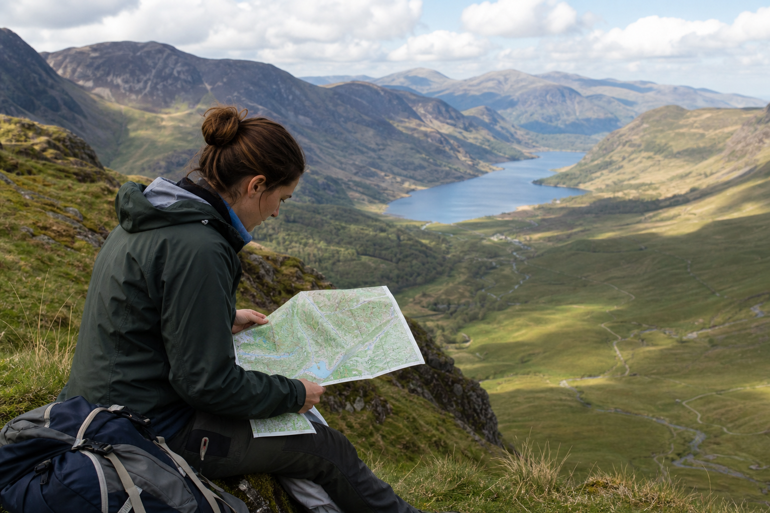
GIS analysts and environmental modelers who need reproducible raster, vector, and time-series processing. Model terrain, watersheds, hydrology, or ecosystem patterns from spatial datasets. Process imagery and manage geospatial data across large analysis projects. Build scripted GIS workflows with Python instead of relying only on manual desktop tools. Evaluate GRASS through sample data, tutorials, or an online trial before installing.
Raster and vector geospatial processing; imagery analysis; terrain, hydrology, and ecosystem modeling tools; built-in temporal framework; Python API for automation; addons ecosystem; installers for Windows, macOS, Linux, Docker, and conda.
Alternative listings
Desktop GIS focused on geoscientific and terrain analysis.
Mapping, geospatial & alternative cartography toolsSAGA GIS is a geospatial analysis project for working with scientific mapping and earth-surface data. The site functions mainly as a gateway to the SAGA project information and its SourceForge project page for downloads and updates.
0 votesVisit siteA local GIS toolkit for terrain, hydrology, LiDAR, and raster analysis.
Mapping, geospatial & alternative cartography toolsWhitebox provides a large collection of geospatial analysis tools usable from QGIS, Python, and R. Its open tier covers terrain modeling, hydrology, LiDAR, remote sensing, raster, and vector workflows, while licensed Pro bundles add structured reporting and reproducibility features for higher-stakes work.
0 votesVisit site
Similar sites elsewhere
- QGIS — qgis.org
- SAGA GIS — saga-gis.sourceforge.io
- gvSIG — gvsig.com
- WhiteboxTools — whiteboxgeo.com