David Rumsey Historical Map Collection
A searchable archive of rare maps with modern geospatial viewing tools.
The David Rumsey Historical Map Collection is an online archive of roughly 150,000 digitized maps, atlases, globes, and related cartographic images. It supports browsing and searching through the LUNA viewer, with specialized tools for georeferencing, text-on-map search, interactive globes, and map viewing in platforms such as Google Earth and Google Maps.
Why it stands out
- Unusually large specialist collection focused on historical cartography rather than general archival material
- Combines catalog metadata search with image-level text search, which helps surface maps whose important labels are not in the title
- Includes interactive presentations of globes, celestial maps, planetary mosaics, and large joined-sheet works
- Connects traditional archival browsing with geospatial tools such as georeferencing and Google Earth viewing
- Maintained in connection with the David Rumsey Map Center at Stanford Library, giving the collection institutional context beyond a private gallery
Good to know
- The archive is strongest for historical cartography and related imagery; it is not a source for current authoritative GIS datasets.
- Some viewing options listed on the site are legacy or external tools, such as Flash, Java, Second Life, or separate georeferencing/search services.
- Reuse may require checking the site’s copyright and permissions guidance for the specific item.
Under the radar: Use the Text-on-Maps search for feature words such as “lighthouse,” “gold mine,” or a neighborhood name; it can reveal maps where the term appears in the image even when it is absent from the catalog title.
Photos
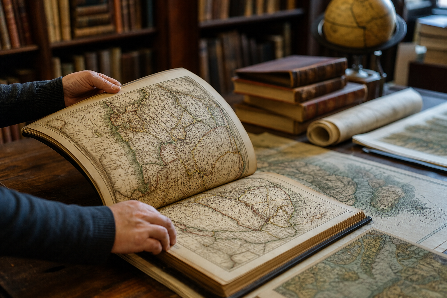
Historians, cartography researchers, and educators can locate high-resolution historical map sources for place-based research and teaching. Compare how cities, borders, transportation routes, or landscapes were represented across time. Search for printed words or features appearing inside map images, not just catalog metadata. Explore historical globes and large composite maps in interactive viewers. Find recent additions, featured maps, atlases, and thematic categories for inspiration.
LUNA-based collection viewer for maps and images Metadata browsing by what, where, who, and when AI Search Assist for asking collection questions in multiple languages Text-on-map search for words printed within map imagery Interactive globes, georeferencer access, MapRank search, and Google Earth/Maps viewing options
No similar listings found yet.
Similar sites elsewhere
- Old Maps Online — oldmapsonline.org
- Library of Congress Maps — loc.gov/maps
- National Library of Scotland Maps — maps.nls.uk
- NYPL Map Warper — mapwarper.net
1 of 5